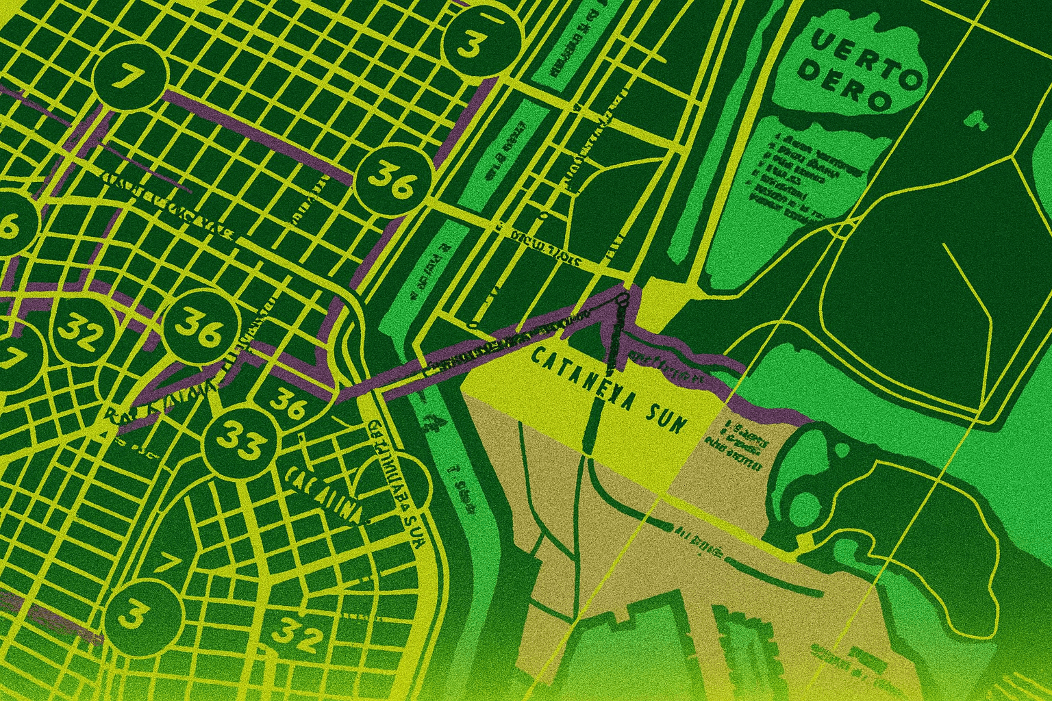
Your neighborhood isn’t just streets and houses. It’s a net.
Cameras at intersections. License plate readers on poles. Doorbells watching sidewalks. Wi-Fi beacons tracking passing phones.
You don’t live in a block. You live in a monitored zone.
The good news: you can map it.
Why Mapping Matters
Recognition scales. Once you learn to spot one hidden camera, you start noticing ten. Once you notice one neighborhood sensor, you see how they link into a system.
This isn’t about paranoia. It’s about intelligence. If you know where the eyes and ears sit, you know where you can move clean, where you can’t, and where you’re being funneled.
It’s the same reason militaries scout terrain before moving troops. You don’t wander blind into an ambush. You map the field.
What to Look For
Neighborhood surveillance blends corporate, state, and private devices. They overlap into a patchwork net.
Fixed Infrastructure
- Traffic cams: Mounted on lights or poles. Wide angle, often with infrared.
- ALPRs (Automatic License Plate Readers): Boxy cameras facing lanes. Often disguised as “speed monitors.”
- Utility pole boxes: Extra attachments with lenses or antennas, usually not part of original infrastructure.
Residential Capture
- Doorbell cams: Facing sidewalks, often overlapping. Many feed into police networks like Ring partnerships.
- Home security cams: Mounted at garages or windows, angled to catch street.
- Private signs: “Neighborhood watch” areas often correlate with camera saturation.
Commercial Nets
- Banks and ATMs: Overlapping cams on street corners.
- Gas stations: Wide coverage of pumps, license plates, entrances.
- Stores: Roof mounted domes spilling onto sidewalks.
Each on its own is minor. Together they form a lattice.
How to Start Mapping
You don’t need special gear. You need patience and a notebook.
- Walk your block: Slowly scan at eye level, then upward. Count every lens.
- Trace main roads: Follow intersections, look for utility add ons.
- Mark businesses: Note banks, gas stations, shops with visible cams.
- Sketch or log: Paper map, drawing app, or even OpenStreetMap overlays.
Patterns emerge. Blind spots reveal themselves.
The Digital Layer
It’s not just optics. Signals are part of the network.
- Wi-Fi scanning: Free apps show the density of routers broadcasting in public space. These can triangulate passing devices.
- Bluetooth density: Stores and transit hubs often drop beacons to track foot traffic.
- Cell towers: Note their placement. Log when your phone shows sudden drops or switches.
Together, these create invisible borders. Areas where your device is tagged even if your body isn’t.
How I Did It Once
I mapped my old neighborhood after noticing too many “mystery boxes” on poles. At first it looked random. Then I plotted them on a grid.
Every arterial road in and out of the district had license plate readers. Every corner store camera covered the bus stops. Every side street fed into intersections with eyes.
The result: no vehicle left without being logged. Every pedestrian route crossed multiple doorbell fields.
Once I saw it, I understood. It wasn’t scattered. It was designed.
Why You Should Map Too
This isn’t just about activism or high risk ops. It’s about agency.
- You’ll learn routes: Clean alleys, blind corners, or tree cover that breaks capture.
- You’ll see density zones: Where surveillance saturates and funnels.
- You’ll shift behavior: Choosing paths with fewer eyes, reducing casual tracking.
Awareness alters your relationship with your own streets. You stop being cargo. You start being deliberate.
Tools That Can Help
Start simple. Scale up if you want depth.
- Notebook + pen: Old school but effective.
- Google Earth / OpenStreetMap: Annotate satellite views.
- RF detectors: Spot abnormal signal sources.
- Community input: Neighbors often know where cameras sit, you just have to ask.
- Wi-fi Pineapple: Build a list of consumer cameras calling out on the street.
Don’t get lost in gear. The key is discipline and consistency.
Checklist: Mapping Your Block
- Walk the perimeter: Count lenses, note positions.
- Log infrastructure: Traffic cams, ALPRs, utility pole boxes.
- Mark private feeds: Doorbells, home cams, store domes.
- Track signals: Wi-Fi density, Bluetooth beacons, towers.
- Sketch the net: Use any medium, just record.
Do this once, then revisit monthly. Nets evolve.
The Psychological Shift
Once you draw the net, the neighborhood feels different. The “quiet street” is no longer quiet when you see ten overlapping lenses. The “shortcut alley” is no longer hidden when it feeds into three traffic cams.
That shift matters. It changes how you move, how you plan, and how you think about “normal.”
The point isn’t to obsess. The point is to strip away illusion.
Final Word
Your neighborhood is not neutral ground. It’s terrain. Someone else already mapped it: police, corporations, landlords.
Mapping it yourself flips the power dynamic. You stop being the unaware subject moving through their grid. You start seeing the grid for what it is.
Awareness is the first weapon.
You’re not paranoid. You’re observant.
Claw it back.
-GHOST
Written by GHOST, creator of the Untraceable Digital Dissident project.
This is part of the Untraceable Digital Dissident series — tactical privacy for creators and rebels.
Explore more privacy tactics at untraceabledigitaldissident.com.